- Contact us by email for more information by clicking here -
Historic Prewitt New Mexico
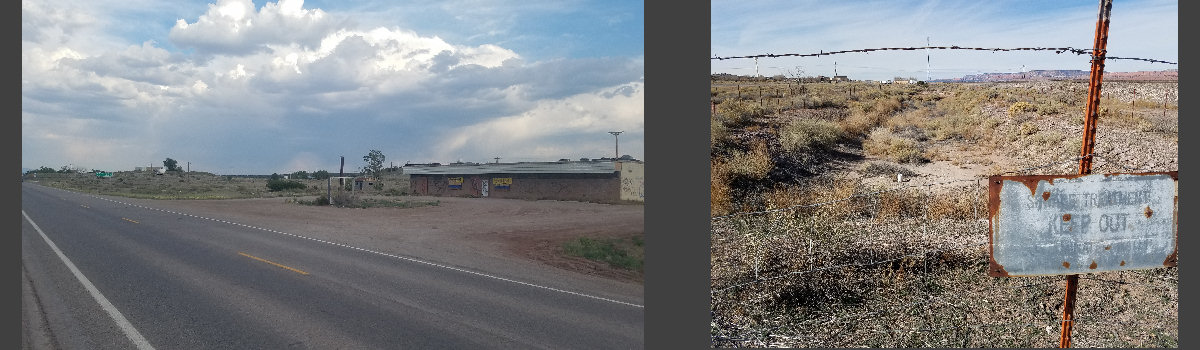
10.5 acres of commercial land situated in Prewitt New Mexico. Nestleed between I-40 and the old Route 66 on exit #63. Originally the town of Prewitt Around 1917, the Prewitt brothers, Harold and Bob opened a trading post in Baca, the "Prewitt's Trading Post". They were from Gunnison, CO. The locals soon began calling the place after the brothers: Prewitt. The post was known to the Navajo people as "White House" (Kin Ligaií). Route 66 was aligned right through the village in 1926, with a winding course that crisscrossed the tracks and was straightened out in the early 1930s.The Uranium Discovery
It was in Baca - Prewitt that Paddy Martinez, a mix of Irish and Navajo discovered the yellow colored rock that began the Uranium mining boom in New Mexico. He was riding home when he decided to dismount and take a "siesta" under a tree. There he spotted the yellow ore. He took the rock home and sent it to be analyzed. It was uranium ore. As the mineral lay on the land belonging to the AT& SF Railway's right of way, he did not file a claim -though he could have. The railway offered him $10,000 or a monthly check of $250 for the rest of his life. He chose the check and lived to a ripe old age of 91.The weather in Prewitt
Has typical "High Desert" weather patterns.
 Prewitt has dry and sunny weather. The area is quite high and arid close to the continental divide. Summers are hot and Winters are cold; there is a large day-night temperature swing which makes for cool summer nights and very cold winter ones. Only 10,5 inches of rain falls each year (266 mm), most of it during the Summer Monsoon: July, August, September and October with 5.6 inches (143 mm). Strong snowstorms may hit Prewitt during winter; and the average snow fall each winter is about 11 inches (28 cm).
The old alignment of Route 66 through Prewitt
Route 66 near Prewitt
 Route 66's original 1926 alignment passed right through the "village", along the Main Street, located on the south side of what was the later alignment of Route 66. This map shows its course through Prewitt. The original 1926 route followed the alignment of NM State Highway 6, which in turn had been aligned in 1914 along the National Old Trails Highway system. It was, like the Trails of those days, not the shortest route, but the easiest to build. It crossed the AT & SF tracks several times between Prewitt and Thoreau. This was not efficient it was too long and also, unsafe so it was realigned when it was paved in the 1930s. It was placed on the south side of the tracks and Thoreau was cut off from the alignment. While in 1926 the Mother road entered the town, now it left it isolated to the north of its roadbed.
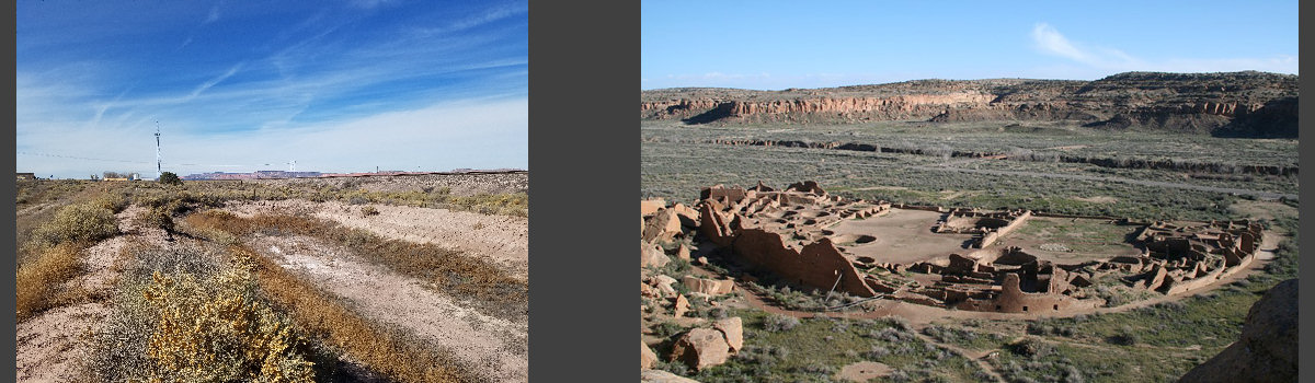
National and State Parks
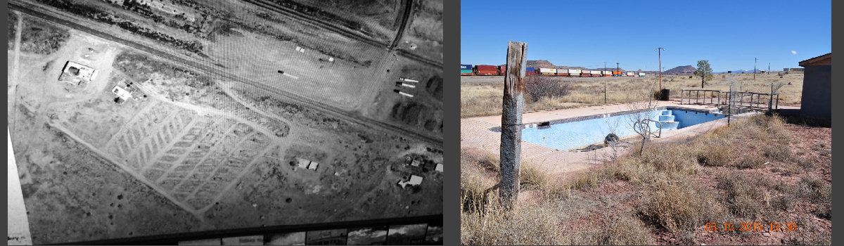
Most recently a 56 space RV Park with full hookups
 There are several parks in the area close Prewitt. TheRoute-66.com is a great resource and has described them in their Grants to Gallup tour and in the Ventana Rock Arch tour, which visit the El Malpais National Conservation Area, the El Malpais National Monument
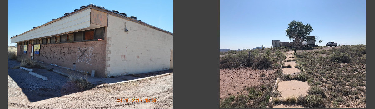
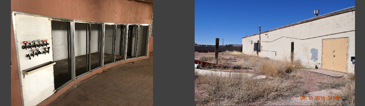
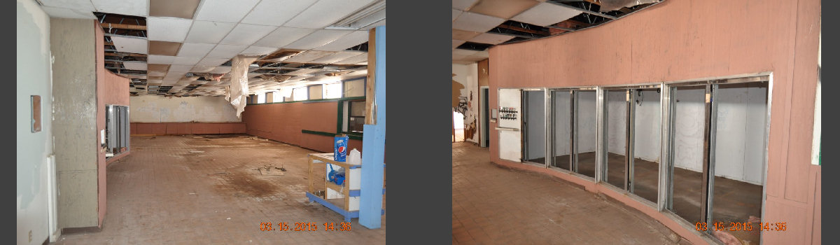
and El Morro National Monument. Much closer to the village is the Bluewater Lake State Park with RV campground. Rebuilding the park here puts you in the center of the action. Originally this RV Park had all the amenities including a swimming pool, Large convenience store / gas station, a laundromat, showers and a recreation hall.
There are several parks in the area close Prewitt. TheRoute-66.com is a great resource and has described them in their Grants to Gallup tour and in the Ventana Rock Arch tour, which visit the El Malpais National Conservation Area, the El Malpais National Monument
and El Morro National Monument. Much closer to the village is the Bluewater Lake State Park with RV campground. Rebuilding the park here puts you in the center of the action. Originally this RV Park had all the amenities including a swimming pool, Large convenience store / gas station, a laundromat, showers and a recreation hall.
Bluewater Lake RV Park & Resort
Contact us by email for more information:
We're in the planning stages now
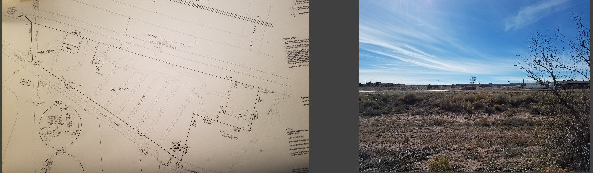
- 10.5 Acres
- 4000+ sq ft Convenience Store
- Recent Property Line Survey
- Access from 2 major highways. I-40 and Rte 66
- Multiple business opportunities
- Will be BUS Friendly!